For Environmental Consultancies, Heritage Experts and Asset Managers

Drone data done right
Faster, Clearer, Smarter

Transform Your Projects with Advanced Drone Sensors, LiDAR Scanning, Thermal Imaging, Multispectral and Digital Twins

Faster Surveys
Safer Access
Better Insights

Why choose Mapping By Drone?
Cost Effectiveness: Outsourcing eliminates the need for significant investment in drone equipment, software and training personnel
Access to Expertise: We are experienced professionals well versed in the latest technologies and best practices. Our drones are easily deploiyable, and allow bespoke capture of wildlife, habitats, infrastructure, topographical landforms.
Enhanced Safety: Our pilots are wholly compliant with CASA regulations and are fully insured. We safely fly hard to access areas minimising risk of accidents and complete safety risk assessment prior to all jobs
One-Stop Shop: Our team are skilled in spatial technologies, providing a single contact for planning, capture, processing, analysis and enrichment of data.
The Challenges You Face and How We Solve Them

Traditional surveying methods are time-consuming, costly, and often limited in scope

Imagine making critical decisions with complete confidence, backed by the most accurate and comprehensive aerial data available. That’s the future with Mapping By Drone. Why rely on outdated methods, risking costly errors and missed opportunities.

Our advanced drone technology provides faster, more comprehensive, and cost-effective data collection for better decision-making.

How it Works

Step 1

Initial Consultation

Schedule a free consultation to discuss your project. Our experts will provide an overview of our consultaint services and how we can help.

Step2

We Pilot, You Prosper

Our team take charge of your project once scope agreed. We handle planning, research, logistics, mapping and will always keep you in the loop

Step 3

Drone Results Delivered

A short product description that highlights the main usage and features of the product.

The only place where you’ll get the perfect solution for all your industry needs.

Our Contributions

Industries We Serve!

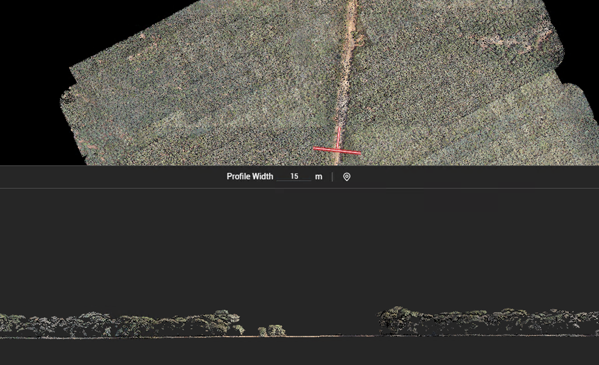
drone capturing elevation model

Environmental Consultancies

Challenges: Traditional survey methods are time-consuming and can disrupt sensitive ecosystems, making it difficult to balance timelines with sustainability goals.

Mapping By Drone technology provides faster, non-invasive data collection, ensuring minimal environmental impact while delivering precise results for informed decision-making.
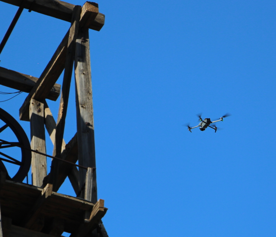
Asset Management Companies

Challenges: Managing large-scale assets is complex due to fragmented data systems, regulatory requirements, and the need for real-time monitoring.

Mapping By Drone streamline asset inspections with high-resolution imagery and geo-referenced data, reducing costs, improving compliance, and enhancing operational efficiency.
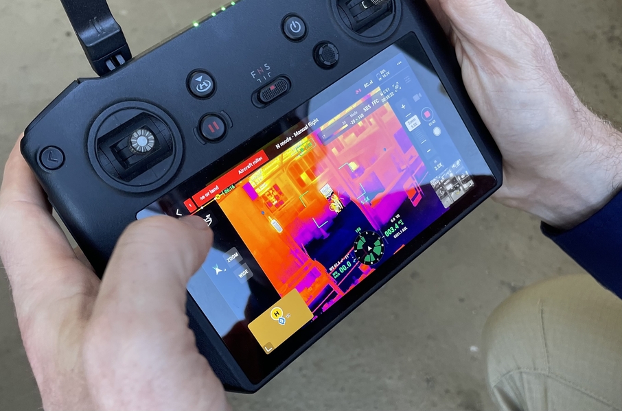
drone pilot control

Heritage Consultants

Challenges: Documenting and preserving historical sites is challenging due to hard-to-reach areas and the risk of damaging fragile structures during surveys.

Mapping By Drone advanced drone imaging and 3D modeling allows safe capture of every detail for heritage sites, creating accurate digital replicas without physical interference.

Need Help with Easier Site Inspections? We Are Experts!​

Click here to change this text. Lorem ipsum dolor sit amet, consectetur adipiscing elit. Ut elit tellus, luctus nec ullamcorper mattis, pulvinar dapibus leo.